Snowfall is expected to taper off around 8 a.m. in most portions of the area. A Winter Storm Warning remains in effect until 1 p.m. on Friday, according to the National Weather Service.
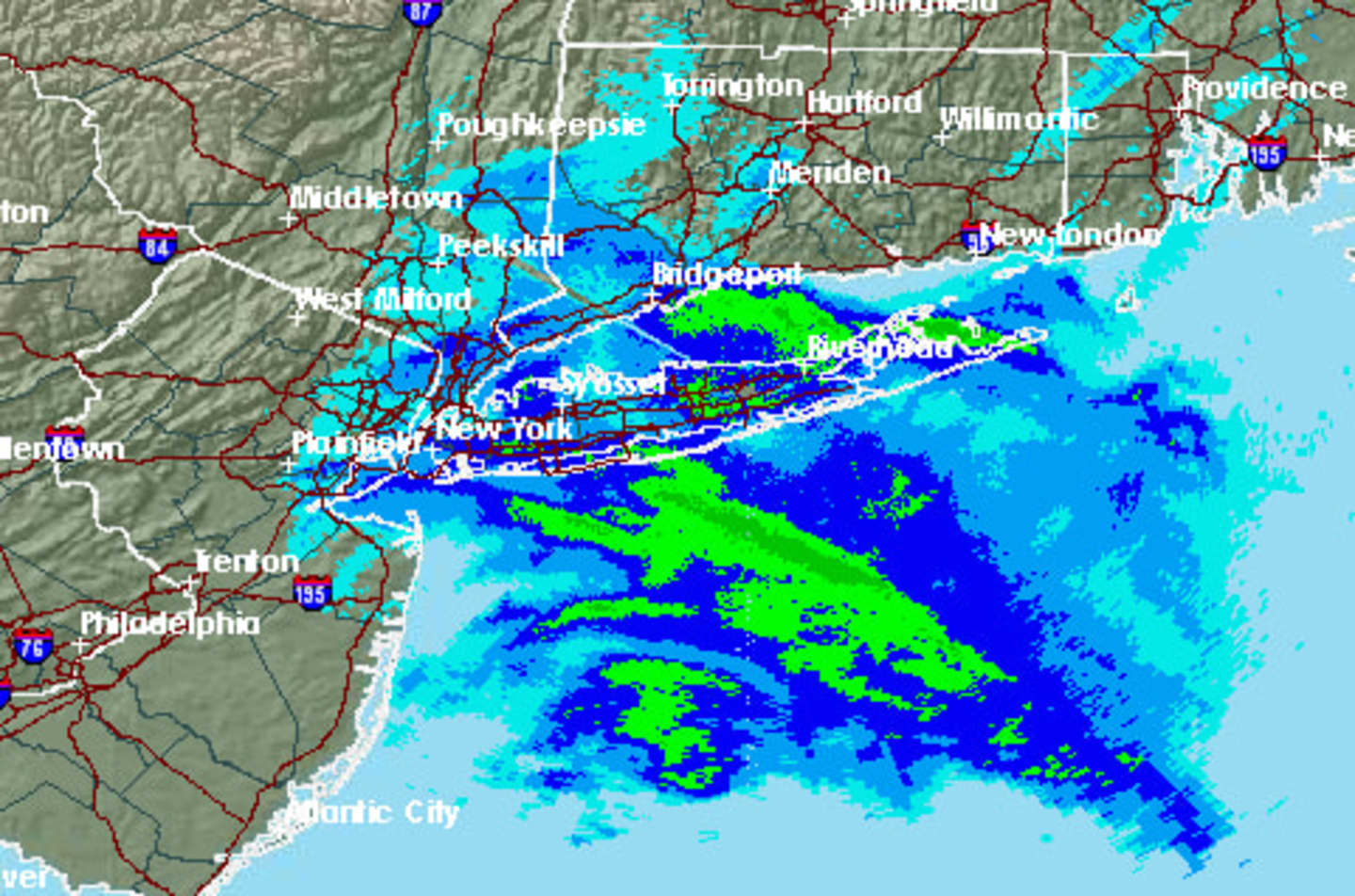
A chance of snow continues through 10 a.m. There will be blowing and drifting snow through at least 11 a.m. Final snow accumulation totals are ranging 6 inches to 10 inches, with some locally higher amounts. Scarsdale reported 8 inches of snowfall at 5 a.m.
Winds, out of the north, are 15 to 25 miles per hour, gusting up to 35, creating wind chills between 10 below zero to as low as 20 below zero.
Friday’s high temperature will be between 15 and 18 degrees, with temperatures falling to zero or several degrees below zero overnight, with winds becoming calmer after midnight.
Saturday will be sunny with highs between 25 and 28 degrees. The outlook for Sunday calls for a chance of snow and sleet before 1 p.m., then rain possible later in the afternoon with a high between 40 and 44 degrees.
Monday is expected to be rainy with some snow showers possible and a high between 38 and 42 degrees.
Tuesday will be sharply colder with sunny skies and a high between 10 and 12 degrees.
Click here to follow Daily Voice Peekskill and receive free news updates.